Eugene Park
Associate Professor
University of Minnesota, Twin Cities
Jessica Rossi-Mastracci & Matt Tierney
University of Minnesota
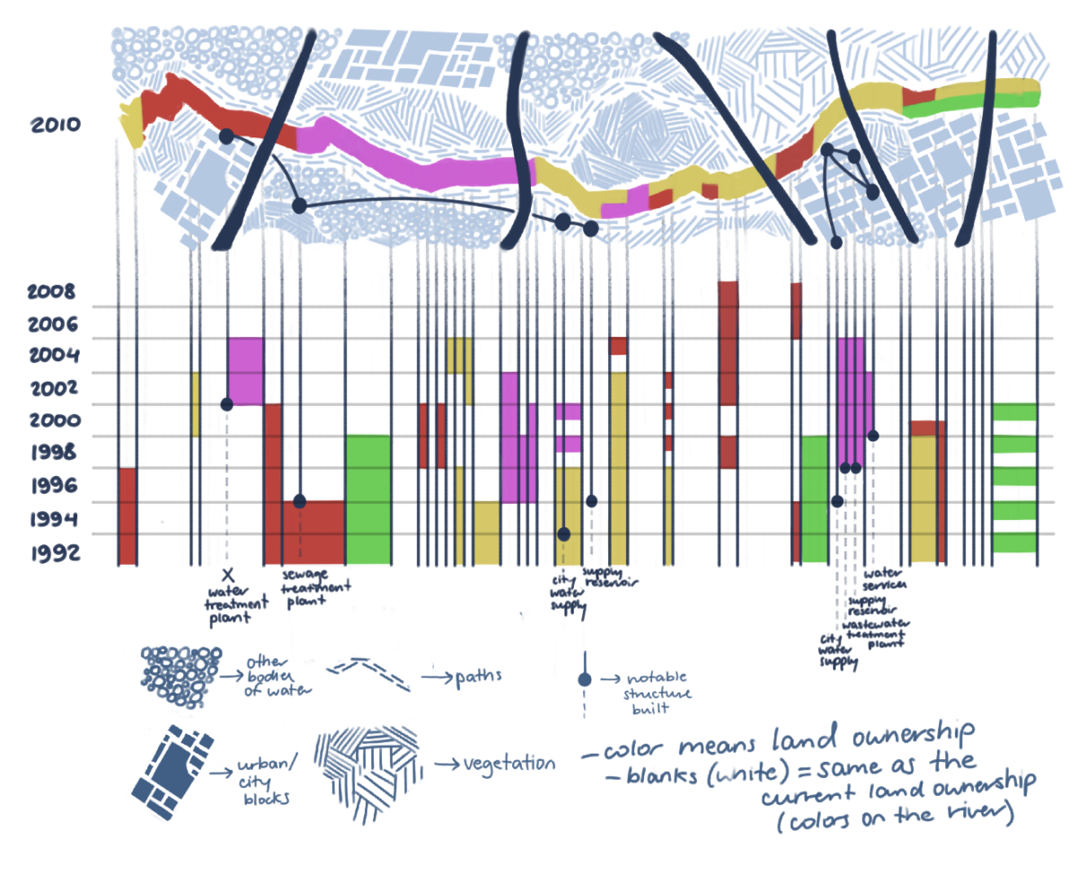
Visualizing water systems, across a range of varied spatial and temporal scales, is a complex problem that can be difficult to fully represent on a graphical outcome. Traditionally, these systems have been represented in static, print formats that only convey water’s dynamic flow at a single point in time. This often results in simplistic graphics that show water in a limited perspective, omitting a wide range of scenarios, such as flood and drought that are increasing in frequency and severity due to climate change.
Recognizing the need to innovate in this area, this research aims to develop hybrid representations to convey water and its fluidity across multiple spatial and temporal scales. To achieve this, faculty members in Graphic Design, Landscape Architecture, and Architecture formed a multidisciplinary research team where each discipline offered new insights and methods of representing and understanding water systems beyond existing conventions.
The research team first conducted a broad survey of visualization techniques related to water including heatmaps, chord diagrams, choropleth maps, technical sections, Sankey diagrams, 3-dimensional digital modeling, sequential sections, geospatial data and mappings, decision trees, and system diagrams. Then, these were analyzed to understand types of data that could be displayed, potential spatial scales of use, and relevant time scales, and organized into a graphic matrix that served as a guide to hybridize representation strategies to visualize water as a dynamic and fluid system.
Outcomes from this work resulted in a dashboard prototype that begins to spatially and conceptually represent flows, inputs, uses, and sinks at multiple water scenarios. The intention is to ultimately develop a tool where architects, landscape architects, designers, and engineers can use to plan for future water scenarios at specific locations. Ultimately, this project demonstrates that multiple design disciplines can develop innovative representation and data visualization methodologies through cross disciplinary collaboration.
This design research is presented at Design Incubation Colloquium 11.1: Boston University on Friday, October 25, 2024.